Map Reading
Map Symbols
A Read-Along Activity
Crackers and his pal, Oscar, are very keen on map reading and are happy to plan walks for the teddy bears when they go on holiday or out at the weekends. Whilst they are on their walk, Crackers and Oscar are always checking the map to make sure they are still going the right way.
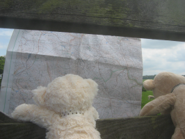
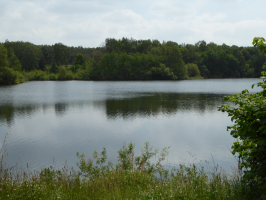
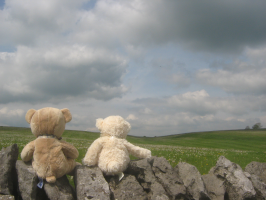
Last year, when they were on holiday in Derbyshire, Crackers and Oscar guided the other bears to a lovely lake where they all had a really nice picnic. And they walked across green fields full of wildflowers and along by pretty tinkling streams, and through shady woods.
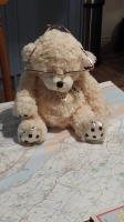
Crackers And Oscar do most of their route planning at home on a big table where they can spread the map out without it getting blown about in the wind, or getting wet in the rain. The bears sometimes get blown about in the wind, or wet in the rain, but they can (just) manage - they don't think a map could!
To the rest of the bears, maps are covered in strange, unknown symbols (rather like small pictures), and lots of colourful, wiggly lines all over the place. Crackers and Oscar can not only point out that they'll be seeing a church on their walk but that it will have a steeple and not a tower, or not only that they will be walking through a wood, but that it will be full of coniferous trees (like fir trees or other trees that keep their leaves in Winter) or full of deciduous trees (like oak or ash trees that lose their leaves in Winter)!
They are also quite good at choosing footpaths which aren't too steep - apparently the wiggly brown lines on the map help them with this. Going uphill too much would puff bears out - though the views from the top are usually worth it! Going downhill is better and they can run down some of the less-steep bits. And Crackers and Oscar are usually pretty good at choosing the rest stops (of which there are many!) - like by the lake, or at the beach, or under shady trees if it is a very hot day.
The other bears decided they all wanted to learn more about what you can see on maps to help with planning nice walks, so Crackers and Oscar offered to help them. They started by showing the bears the area on the local map where they live. They each chose a symbol on the map. Then they looked at the map's "legend" which is the area, usually at the bottom or side of a map, which lists what all the various symbols mean.
Then they could understand that the symbol on the map matched the actual place on the ground.
And there were all the roads and lanes and footpaths that they knew, and the woods they visit. It was all very interesting. They could even work out what size the roads would be, and where the bends in the lanes were. No wonder Crackers and Oscar could work out such lovely routes for them on holiday when they could find out exactly what was there - before they even got there!
Although the bears are usually very tired when they have finished their walks and sometimes can't take another step, they have always seen something interesting and stopped for yummy food and drink, so they can't wait for Crackers and Oscar to start planning the next one. Perhaps next time they will let all the others join in now they know what they are looking at!
Now, how would you like to win a unique Teddy-Bear-Tales badge, featuring Edward and Harry?
